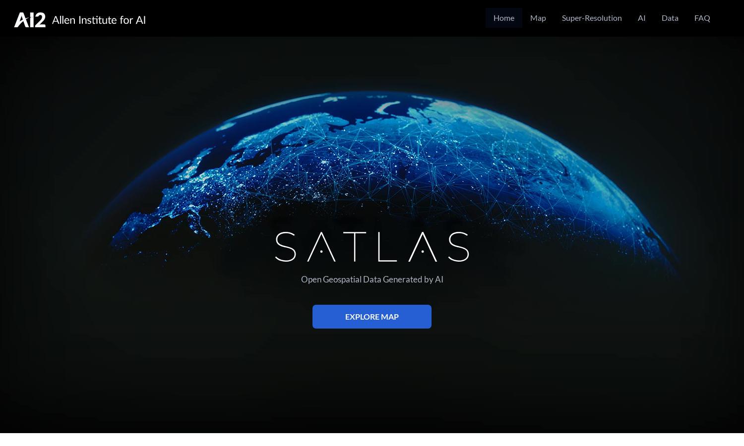
Satlas
About Satlas
Satlas is an innovative platform that lets users study Earth's transformations through AI-annotated satellite imagery. By utilizing advanced AI models, Satlas enables detailed analysis of ecological changes, infrastructure development, and critical data access, appealing to researchers, policymakers, and environmental advocates seeking valuable insights.
Satlas offers a free access model to its extensive geospatial datasets. Users can download data and utilize AI-generated geospatial insights for various applications. Upgrading allows users to benefit from advanced features, enhanced data analytics, and comprehensive tools tailored for deeper environmental analysis.
Satlas features a user-friendly interface designed for seamless navigation and optimal user experience. The layout showcases AI-generated imagery with intuitive access to data layers and insights, ensuring users can explore and analyze critical environmental changes effectively, fostering engagement and data-driven decision-making.
How Satlas works
Users begin with an easy onboarding process at Satlas, where they create an account for access. After logging in, they navigate seamlessly through AI-enhanced satellite imagery and geospatial data, utilizing advanced tools for analysis. The integrated features promote exploration of environmental changes through an intuitive interface.
Key Features for Satlas
AI-Enhanced Satellite Imagery
Satlas offers AI-enhanced satellite imagery, a key feature that elevates the analysis of environmental changes. This functionality allows users to visualize alterations in infrastructure and ecosystems, empowering researchers and decision-makers with data-driven insights necessary for effective environmental monitoring and action.
Geospatial Data Access
Satlas provides easy access to comprehensive geospatial datasets, allowing users to download and analyze critical data for offline use. This feature enhances the platform's utility by enabling researchers and analysts to conduct in-depth studies, fostering more informed decision-making regarding environmental changes.
Super-Resolution Technology
Satlas utilizes super-resolution technology to improve the clarity of satellite images, making it easier to analyze and interpret data. This feature significantly enhances user experience by providing high-resolution images that reveal detailed insights into environmental conditions and infrastructural development on a global scale.