MapWithAI

About MapWithAI
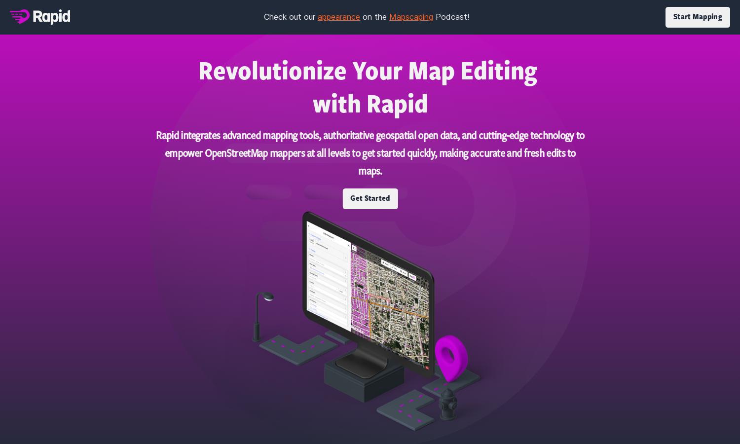
MapWith.ai aims to simplify mapping processes through its Rapid Editor, which utilizes AI to analyze satellite imagery and detect geographic features. Targeted at map enthusiasts and community organizations, the platform uniquely minimizes manual effort needed for mapping, enhancing workflow and accelerating project timelines.
MapWith.ai offers flexible pricing plans, catering to different user needs. Each subscription tier enhances access to advanced AI features, unlocking additional mapping capabilities. Upgrading provides users with increased data visualization options and improved functionalities, making it a valuable investment for more demanding projects.
MapWith.ai features a user-friendly interface designed for seamless navigation. Its intuitive layout promotes efficient mapping, prioritizing ease of use. Unique features like automated geometry creation and AI-enhanced data display contribute to an enjoyable user experience, making it accessible to both beginners and experts.
How MapWithAI works
Users begin with onboarding at MapWith.ai by creating an account and exploring the user-friendly interface. From there, they can access the Rapid Editor, which uses AI to identify features and simplify map drawing. The platform encourages collaboration and community involvement, making the mapping process clearer and more efficient.
Key Features for MapWithAI
AI-driven geometry creation
MapWith.ai’s standout feature is its AI-driven geometry creation, streamlining the mapping process. By leveraging satellite imagery, this unique capability significantly reduces manual input, thus allowing users to focus on analysis and decision-making, enhancing productivity for mapping projects.
Machine learning detections
Another key feature of MapWith.ai is its machine learning detections, providing users with insights into unmapped regions. This innovative technology helps identify missing data, enabling users to prioritize areas needing attention and improving overall mapping accuracy and efficiency.
Open data accessibility
MapWith.ai offers open data accessibility, creating a vast resource pool for users. This feature allows individuals, organizations, and communities to tap into a wealth of geographical information, facilitating informed mapping decisions and collaborative efforts towards enhancing global data coverage.
You may also like:


